Environment Agency
Featured
The Environment Agency’s portal will allow water industry workers to report serious environmental wrongdoing by their organisations.
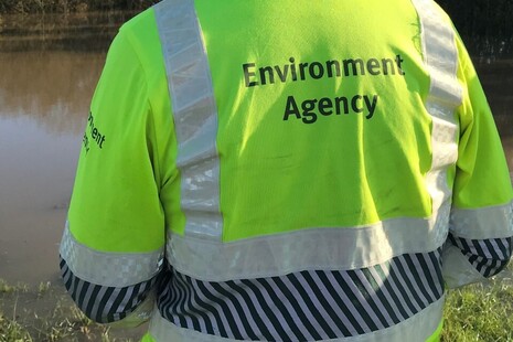
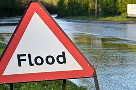
The Environment Agency is warning people to continue taking care following the recent flooding

People urged to take care in Storm Ciarán
Press release
Rolling updates on flooding impacts from Storm Ciarán in England
Time to invest in our water security
Press release
As England enters the autumn, the National Drought Group met to reiterate the importance of all sectors continuing to plan and invest for future droughts.

£6.5 million flood defence scheme complete in Hexham
Press release
A £6.5million Northumberland scheme that reduces the devastating impact of flooding is complete.

Environment Minister launches construction of British designed and manufactured Bewdley flood scheme
Press release
Event to mark official start of work on major flood risk management scheme at Beales Corner in Bewdley, Worcestershire

Latest from the Environment Agency
What we do
We work to create better places for people and wildlife, and support sustainable development.
EA is an executive non-departmental public body, sponsored by the Department for Environment, Food & Rural Affairs, supported by 1 public body.
Follow us
Documents
Transparency and freedom of information releases
Our management


Contact EA
General enquiries
PO Box 544
Rotherham
S60 1BY
United Kingdom
Telephone
03708 506 506
Telephone from outside the UK (Monday to Friday, 8am to 6pm GMT)
+44 (0) 114 282 5312
Monday to Friday, 8am to 6pm.
Environment incident hotline
Telephone (24 hour service)
0800 80 70 60
Floodline
Telephone (24 hour service)
0345 988 1188
Type talk (for the hard of hearing)
0345 602 6340
Report serious wrongdoing
How to report whistleblowing concerns to the Environment Agency.
Report fraud to the Environment Agency
Main switchboard
03708 506 506
If you suspect or know that someone is committing fraud or other malpractice against the Environment Agency, contact us in confidence. We will seek to prosecute where appropriate and recover lost funds.
Legal and statutory documents
Legal ServicesHorizon House Deanery Road
Bristol
BS1 5AH
United Kingdom
All statutory and legal documents (as well as all important and time-critical correspondence), should be served by email to LegalSupport@environment-agency.gov.uk, with a hard copy posted to the address above. You should only use alternative contact details if you have been formally notified in writing by an Environment Agency legal representative.
All other correspondence including complaints should be sent to enquiries@environment-agency.gov.uk.
Make an FOI request
- Read about the Freedom of Information (FOI) Act and how to make a request.
- Check our previous releases to see if we’ve already answered your question.
- Make a new request by contacting us using the details below.
FOI requests
PO Box 544
Rotherham
S60 1BY
United Kingdom
Main switchboard
03708 506 506
High profile groups within EA
Corporate information
Jobs and contracts
Read about the types of information we routinely publish in our Publication scheme. Our Personal information charter explains how we treat your personal information. Read our policy on Social media use.